Beer, Coffee, or Crude was created by Rice University student Aruni Ranaweera.
Anyone who spends time looking at how oil is drilled for and refined around the world comes to notice something strange. The names people give to different types of crude oil can sound surprisingly delicious.
In reporting on the role that benchmark oil prices play in moving the price of gasoline, I was introduced to one person who had made a game out of it. Rice University student Aruni Ranaweera created the quiz “Beer, Coffee, Crude” to test her classmates’ ability to distinguish between types of crude, types of beer, and blends of coffee. It’s harder than is sounds. Go ahead, crack open a can of Tia Juana Light and give it a shot.
An exploratory oil well in California. Oil companies base their decisions to drill around the "benchmark price" of crude oil.
If you’ve followed the drop in oil prices over the last few months you might have noticed the words “Brent” and “WTI” being thrown around without much explanation. The price of these benchmark crude oils influences everything from how big oil companies invest in drilling, to the amount you pay to fill up your car. So what exactly are they?
The first thing to remember is that the crude oil we refine into gasoline comes in a lot of different varieties from all over the world. They have different names and some of them, like Tia Juana Light sound more like a refreshing beverage than an oil.
To make buying and selling all these different crudes simpler. People in the industry use benchmark oil prices. Brent crude, and West Texas Intermediate (or WTI) are the two big ones.
“So somebody will write a contract that says, I will sell you Crude X from the gulf of Mexico at WTI plus a dollar,” says Tim Hess, lead analyst for the US Energy Information Administration’s short term energy outlook.
He says WTI is the price marker for American crudes, “particularly on the Gulf Coast where the petroleum industry is centered.”
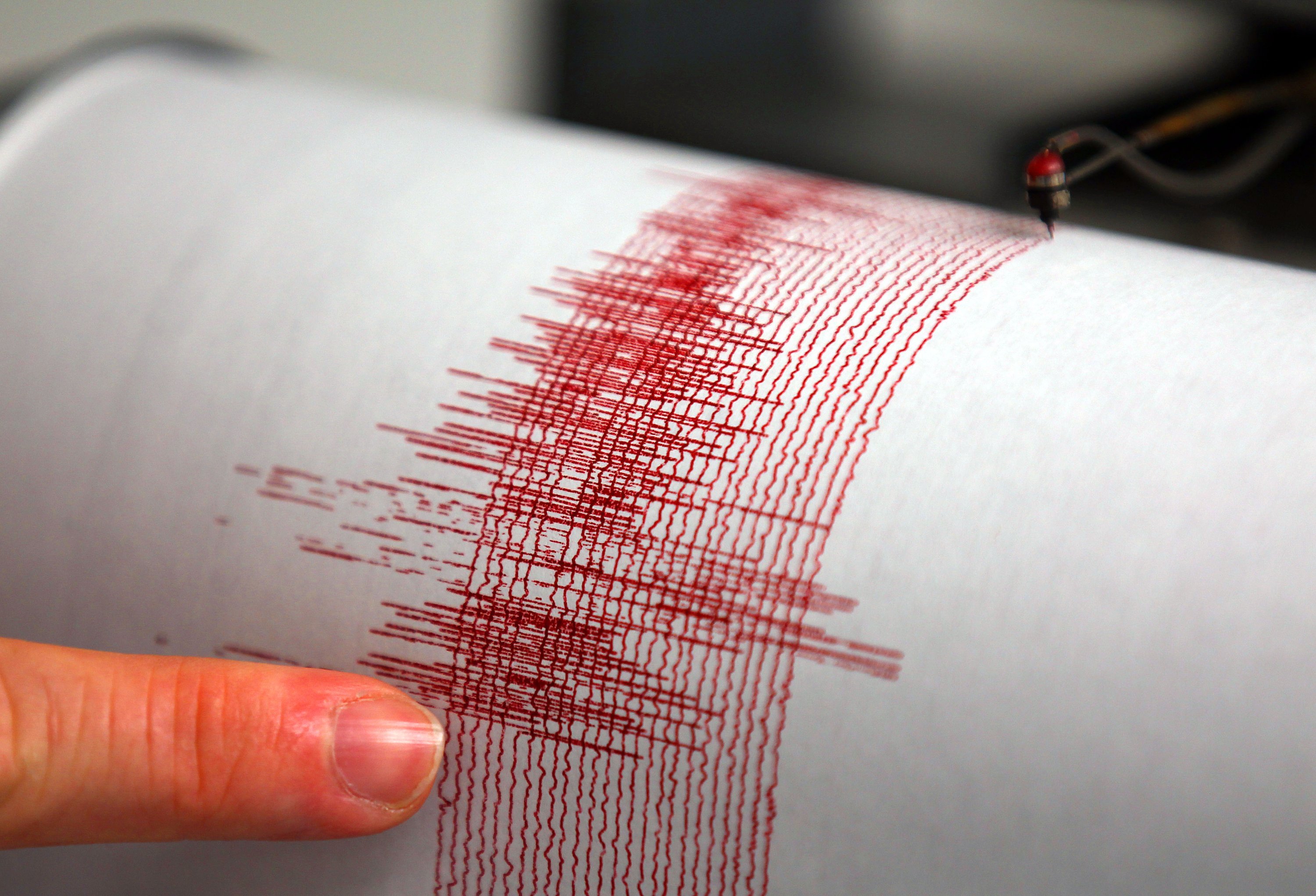
A current earthquake hazard map on the USGS website.
A seismic hazard map is essentially what it sounds like – a map that shows the potential for earthquakes in certain areas. The maps give people a sense of the likelihood of earthquakes occurring, where they might occur, and how strong they might be. The maps can influence everything from public policy to building codes to insurance rates.
“They govern hundreds of billions of dollars in constructions and insurance cost every year,” says Mark Peterson, project chief of the USGS’s National Seismic Hazard Mapping project.
So it’s worth noting that the USGS plans to update the maps for Texas (and other parts of the country) to account for an increase in man-made earthquakes.
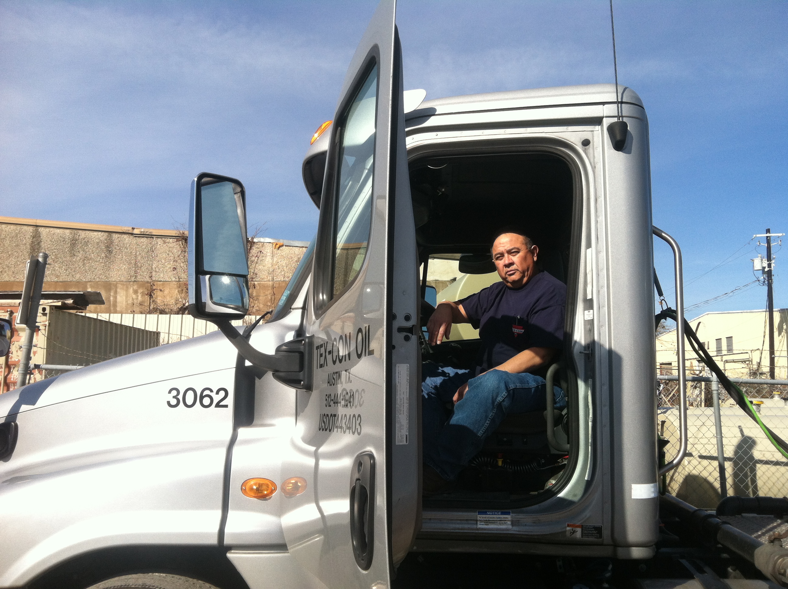
Johnny Herrera is a dispatcher for Tex Con Oil. A company that distributes fuel around the Austin area.
By now, the initial surprise over low gas prices has worn off. But people looking for the very best deals might have noticed a trend: small, unbranded gas stations are often the first to cut prices. Many of them continue to stay competitive even when larger brand-name stations cut their prices as well.
To understand why stations offer different prices for essentially the same product, it helps to take a trip from the pump back to the pipeline, to see exactly how gas is bought, sold and transported.
A dozen smaller earthquakes have struck Dallas this week.
Tremors on the Rise Across Texas
People in Dallas were surprised by a swarm of small earthquakes that started shaking the city a couple of days ago. There have been a dozen by the latest count. And the quakes, though new to the Dallas area, are just the most recent in a major upsurge in earthquakes in Texas over the last few years.
Earthquakes were pretty much unheard of in the Dallas area until 2008. Since then there have been a lot of these swarms of quakes. In Irving, Texas, where this new cluster is located, there have been more than 50 in the last several years, according to the city manager. This current swarm started around September.
Possible Explanations
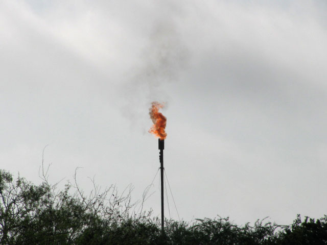
This all started happening in 2008, a year that also marked a boom in oil and gas exploration in Texas. A lot of people say there’s a link there. Not just in Texas, but across the country, studies have shown how injecting fluids into the ground can cause quakes. In the oil and gas business, people use injection wells for disposing of drilling wastewater. Continue Reading →
Lawsuit Filed in Washington Hits Home With Houston’s Biggest Industry
According to the Texas Commission on Environmental Quality, the biggest source of air pollution in Texas are oil and gas wells, emitting far more pollution than petrochemical plants or refineries. Yet, federal law exempts those drilling operations from having to report all their chemical releases to a publicly accessible national database called the Toxics Release Inventory.
“That would be very useful to an average citizen in Texas to know that they can go and find out the whole picture,” said Adam Kron, a lawyer with the Environmental Integrity Project. Continue Reading →
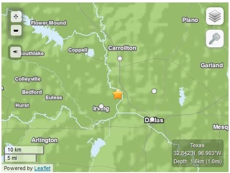
This map from the USGS shows the approximate location of a recent quake near Irving, Texas.
Updated 1/6/14 with more comment from Railroad Commission and information on Tuesday January 6th earthquake.
A team of seismologists headed to the North Texas town of Irving Monday. Like some other Texas towns, Irving has experienced scores of small earthquakes lately, 20 since last September, including a magnitude 3.5 quake that struck on January 6th. And the city is hoping to figure out what’s behind the shaking.
The upsurge in quakes started in Texas around the time the oil and gas boom took hold several years ago. Residents in many parts of the state blame the them on wastewater disposal wells, where fluid byproducts of oil and gas drilling are pumped deep into the ground. Scientists have shown how injecting fluid into the ground can cause earthquakes.
After a spate of quakes in the North Texas town of Azle, the Railroad Commission of Texas, the state’s oil and gas regulator, hired a seismologist, Dr. David Craig Pearson, and passed new regulations for disposal wells. The Commission says it is not investigating the Irving quakes.
“The Railroad Commission is not investigating seismic activity around Irving,” Ramona Nye, a spokesperson for the Commission wrote in an email to StateImpact Texas. “Specifically, there are no disposal wells in Dallas County, and there is only one natural gas well in the vicinity, and it is an inactive well.”
An image of Sir Walter Raleigh from '"A Child's History of England."
Every year humans pump tens of billions of tons of carbon dioxide, or CO2, into the atmosphere by burning fossil fuels. That CO2 traps heat into the atmosphere, causing climate change. Whenever governments talk about fighting climate change, limiting carbon emissions what they are talking about.
But how do we keep track of the CO2 we’re releasing? And just how do we weigh something that floats in the first place?
It turns out there is a venerable history to the science of weighing smoke. In 16th century England Queen Elizabeth made a bet over the weight of smoke with famed explorer Sir Walter Raleigh. Raleigh is known for popularizing tobacco at the royal court. One day, so the story goes, he told the queen he could weigh the smoke that came from his pipe.
Cyclist commuting in the Copenhagen neighborhood of Norrebro.
Rain or shine, in the light of summer or the early afternoon darkness of winter, under heavy sleet, unrelenting winds or drifts of snow, people in Copenhagen just bike. They bike in fur coats, they bike in suits and ties. They bike old, they bike young. They wheel their kids around on a cargo bike with a wooden box carrying the children up front, taking them to and from school; this is Copenhagen’s take on a minivan. People just bike, and after arriving in the city myself, I soon found out why: it’s usually the fastest way to get around. So I rented a bike, too.
Today, 60 percent of people in the city’s core commute by bike. In the greater Copenhagen area, over 40 percent do. “We see the same numbers [of commuting by bike] all year round,” says Copenhagen Environmental and Technical Affairs Mayor Morten Kabell.
“It’s not something that’s in Copenhagen’s genes, or that we’re weirder or stranger than any other people on earth,” Kabell says. “Every city can do this.”
Copenhagen has had enormous success getting people out of their cars and onto bikes, public transit and their own two feet. But this development has less to do with Danes wanting to save the planet, and much more to do with saving their own sanity.
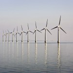
An offshore wind farm is seen near the Danish island of Samso
Three turbines sit just offshore at the Avedore Holm wind energy test site near Copenhagen, Denmark. The turbines are operated by DONG Energy.
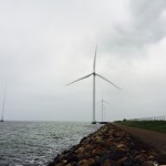
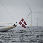
The Royal Danish Yacht sails past Denmark’s biggest offshore wind power farm near the island of Anholt
One of the turbines at the DONG Energy Avedore Holm test facility, with a coal power plant that is converting to biomass energy in the background.
Standing on the shore of the Baltic sea a few miles outside of Copenhagen, Denmark, the view’s about what you’d expect. Rocky shore, grey horizon, a boat here or there. But this shore is special. Look up, and you’ll see — and hear — three giant offshore wind turbines cutting through the air. Each stands 500 feet tall, with three blades (each close to 200 feet long), spinning non-stop.
“The blades look quite thin, but don’t be cheated,” says Rune Birk Nielsen, with DONG Energy, which runs the turbines. “They each weigh about twenty tons. They are massive.” Each turbine has a capacity of 3.6 megawatts, or enough to power 3,000 Danish homes.
Nielsen guides me through the small offshore wind park — well, technically it’s offshore. The turbines aren’t actually too far from land — each is connected to the shore by a short footbridge about ten yards long.
“For us, it’s kind of a demonstration park,” Nielsen says, “where we are able to test all sorts of things.” With turbines close to shore, they’re easier to fiddle with or repair. The company can safely train their workers without sending them far out to sea, where most of the country’s offshore turbines are.
Denmark is booming when it comes to wind energy. To understand how and why, you have to go back a few decades.Continue Reading →
About StateImpact
StateImpact seeks to inform and engage local communities with broadcast and online news focused on how state government decisions affect your lives. Learn More »