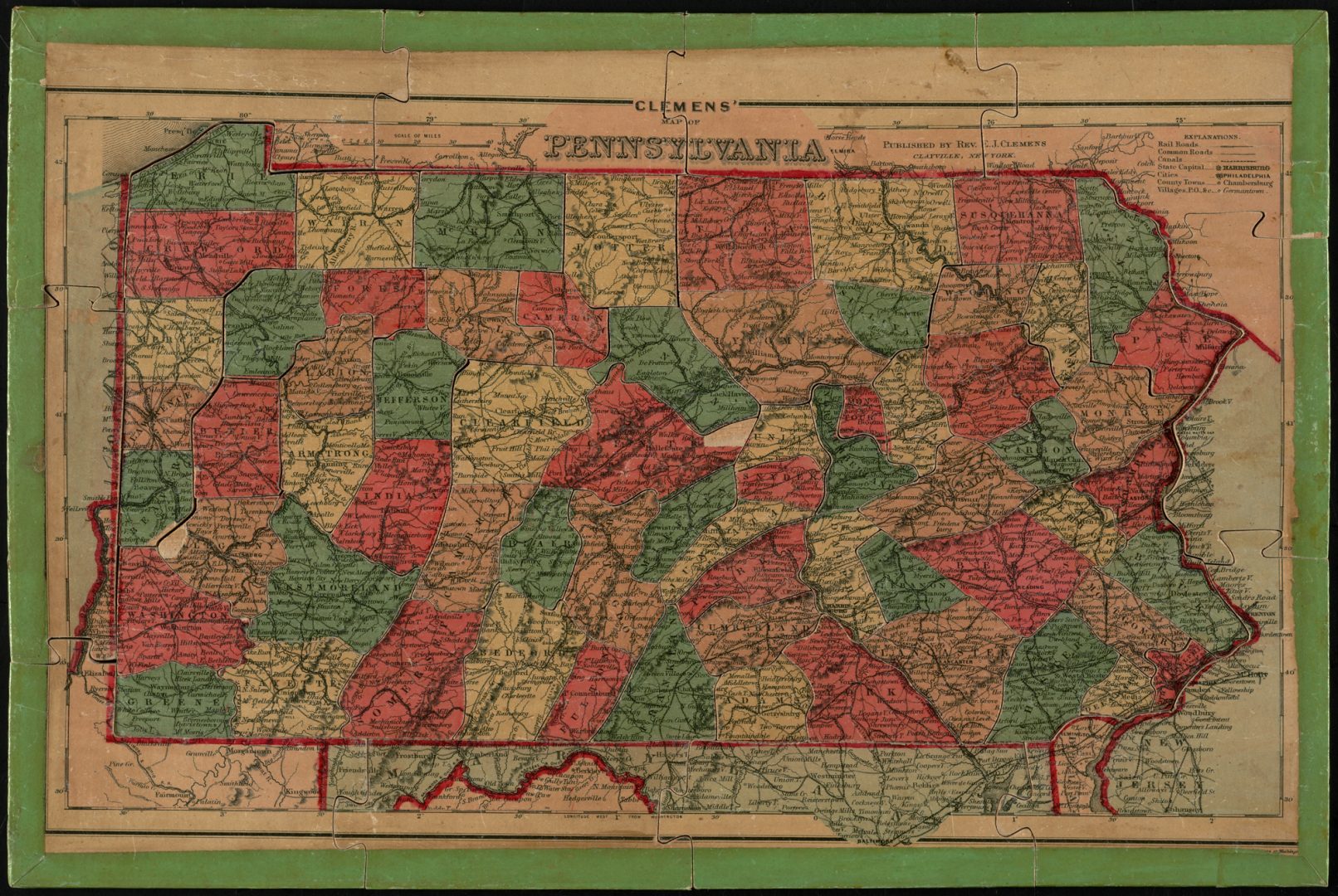
Map of Pennsylvania. Original image used under a creative commons license (https://bit.ly/1mhaR6e).
Norman B. Leventhal Map Center

Map of Pennsylvania. Original image used under a creative commons license (https://bit.ly/1mhaR6e).
Norman B. Leventhal Map Center
Norman B. Leventhal Map Center
Map of Pennsylvania. Original image used under a creative commons license (https://bit.ly/1mhaR6e).
We’ve asked readers to send us energy- and environment-related questions, and we’ve answered some here.
Now, we have a set of reader questions and we’re asking you to vote for the one you’d like us to answer.
You can vote until mid-August. One of StateImpact’s reporters will report on the winning question and post a story on our site. Vote now!