
State regulators unveil updated oil and gas map
-
Marie Cusick
Joe Ulrich / WITF
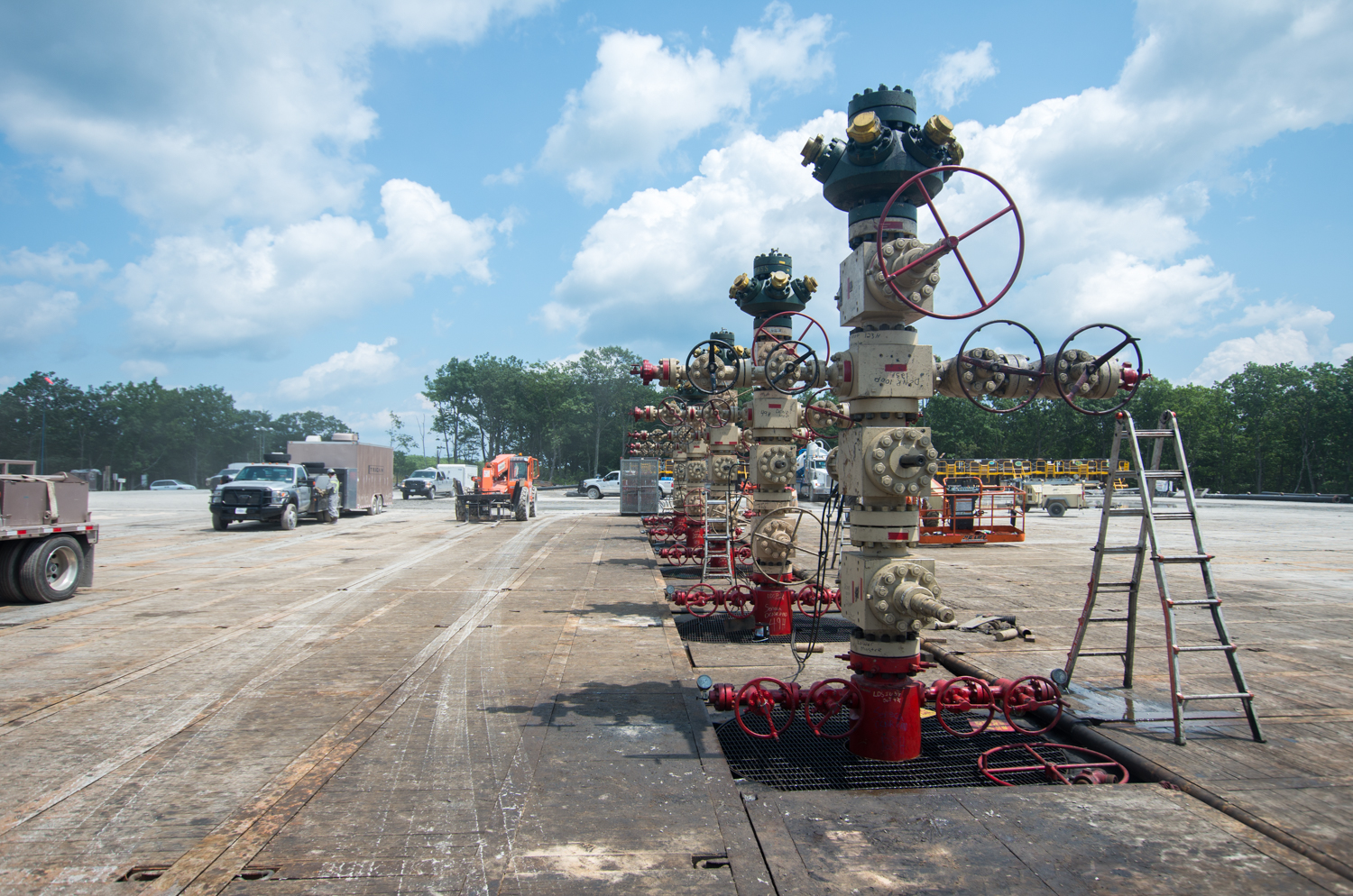
Natural gas wells in Lycoming County.
The state Department of Environmental Protection has unveiled an updated version of its interactive mapping tool for Pennsylvania’s oil and gas wells.
“Making such data available and easy to use promotes transparency and allows the public to generate the information they want on demand,” said DEP Acting Secretary Patrick McDonnell in a statement.
The updated oil and gas map comes with a 10 minute YouTube tutorial on how to use it. Other groups have already used DEP’s oil and gas data to build their own interactive maps over the years, including StateImpact Pennsylvania’s Shale Play map, which launched in 2011.
Recently the department has put a renewed focused on improving its information technology systems. For example, staff just got permission to use apps on their government-issued iPhones. During a budget hearing earlier this year one lawmaker complained he heard the sound of a dial-up modem while on a conference call with the DEP.
As with its other data-sets, this updated map comes with a message from the department disclaiming liability for errors and omissions. Portions of the data are self-reported by oil and gas operators. As StateImpact Pennsylvania and other news outlets have previously reported, in some cases that has led to large discrepancies and inconsistencies in reports related to natural gas production and waste.
Editor's Picks
PARTNERS


FUNDERS


Climate Solutions partners