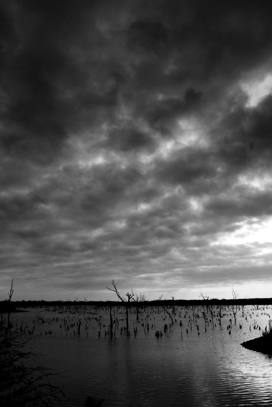
Lake Texoma
MelRick / Flickr


Lake Texoma
MelRick / Flickr

MelRick / Flickr
Lake Texoma
Oklahoma and Texas have a long history of squabbling over the 540-mile border that divides the two states.
The boundary generally follows the path of the Red River, the focal point in the recent U.S. Supreme Court water battle over a 1980 interstate water-sharing agreement, which Oklahoma won.
But the line separating the two states gets a little fuzzy in the waters of Lake Texoma, which hide the original riverbank border, as defined by another agreement, the Red River Boundary Compact, which both states signed and Congress ratified.
And Texas has moved to redraw the borderlines at Lake Texoma, the Texas Tribune’s Jim Malewitz reports, an effort that could fix water headaches — and cause new ones.
Largely unnoticed, Gov. Rick Perry signed legislation in June that created a Red River Boundary Commission to study — and possibly redraw — the border along Lake Texoma, bringing the pump station fully into Texas and fixing an unintentional boundary error that has caused headaches for water managers. Perry’s appointments to the commission are due Dec. 1.
Both Oklahoma and Texas would ultimately have to agree on any boundary changes, which would also need Congressional approval. And Texas hasn’t yet proposed any changes, the Tribune reports.
But the murky border has already caused problems at Lake Texoma, Malewitz writes. In 2009, the North Texas Municipal Water District decided to stop pumping water out of the lake because a Google Earth map indicated some of its pumps were actually located in Oklahoma. Wildlife officials had discovered invasive zebra mussels in the lake. So, to avoid harsh fines for violating the Lacey Act by transporting invasive species across borders, the district opted to stop pumping water out of Lake Texoma:
That shutdown eliminated 28 percent of the supply used by a drinking water provider that serves a population of 1.6 million and growing. Mother Nature added another insult: a historic drought that further shrank supplies.
A U.S. Geological Survey map from 1939 showed what the Oklahoma/Texas boundary looked like before the river was dammed to build Lake Texoma, but that map was lost, the Tribune reports:
Instead, the commission referenced a series of geological survey “quad” maps printed in the 1970s and 1980s. On those maps, dotted lines labeled “indefinite boundary” snake across a blue expanse representing the lake. From those lines, surveyors plotted a series of 325 coordinates — simple for law enforcement to plug into a global positioning system — that would become the official border.
But those maps did not include the Texoma pumping station, which was built in 1987 after crews sought to make sure it was in Texas. The few people following the issue guess the quad maps were wrong by a few dozen feet.
The North Texas Municipal Water District is about to open a $300 million pipeline system to pump water from Lake Texoma to a treatment plant in Wylie, Texas — an operation that will filter out the pesky zebra mussels, which required an Obama-approved exemption from the Lacey Act. According to Malewitz, this adds to the likelihood of another state boundary skirmish:
The exemption raises the question: do the states need to bother — again — with the border? Abney and others say yes. “If you find out something’s a problem,” he said, “you have to go and fix it.”