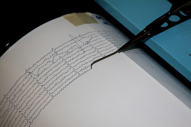
Why State and Federal Agencies Record Different Oklahoma Earthquake Numbers
-
Joe Wertz
Earthquake magnitude estimations often vary wildly between the Oklahoma Geological Survey and the U.S. Geological Survey.
The OGS usually reports smaller earthquakes than its federal counterpart. Since 2010, the OGS reported smaller numbers than the USGS “more than half of the time for earthquakes of magnitude 3.8 and higher,” the Tulsa World’s Ziva Branstetter and Curtis Killman report.
Here’s why:
There are two basic ways to calculate earthquake magnitude. The local magnitude, also known as the Richter scale, is accurate for smaller quakes, while moment magnitude is generally used for larger quakes but is more difficult to compute, according to the USGS.
The difference between the OGS and the USGS calculations can be small — often “one- or two-tenths in magnitude,” the World reports — but there are also much wider margins.
For example, on Jan. 19, an earthquake reported as magnitude 4.1 by the USGS was reported as a 3.7 by the OGS.
Holland said the USGS uses different equipment “and a slightly different technique to calculate these values so you have slightly different values to fall into the equations.”
But the final number matters a lot to local officials, the paper reports. A 4.0-magnitude quake, for example, triggers bridge and dam inspections, and “traffic light” permit provisions for disposal wells in earthquake-prone regions. The Oklahoma Corporation Commission, which issues well permits, uses the OGS calculations.
Skinner said when OGS reports two numbers for an earthquake, “we’re always going to go with the higher number.”
“The 4.0 for us is a guideline … We made a section of Alfalfa County an area of interest before they actually had a 4.0. So we’re not tied to that.”

