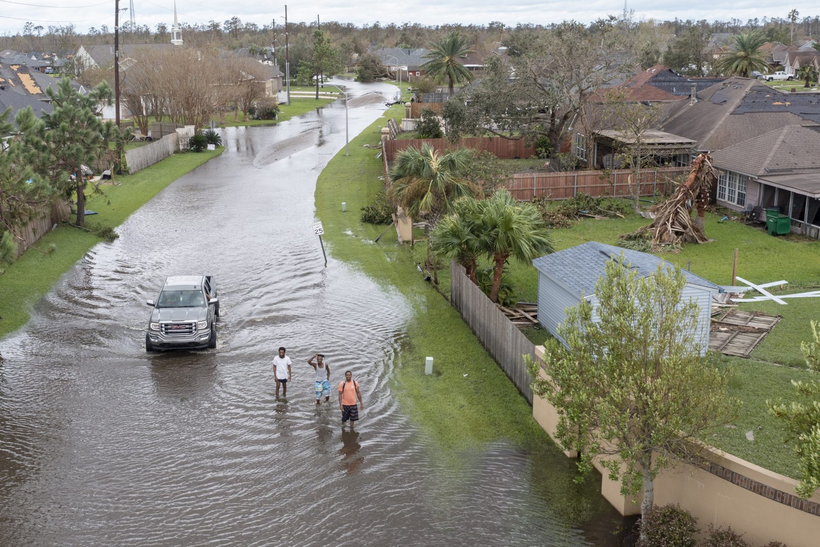
Flooded streets are shown in the Spring Meadow subdivision in LaPlace, La., after Hurricane Ida moved through Monday, Aug. 30, 2021. Hard-hit LaPlace is squeezed between the Mississippi River and Lake Pontchartrain.
Steve Helber / AP Photo


Flooded streets are shown in the Spring Meadow subdivision in LaPlace, La., after Hurricane Ida moved through Monday, Aug. 30, 2021. Hard-hit LaPlace is squeezed between the Mississippi River and Lake Pontchartrain.
Steve Helber / AP Photo

Steve Helber / AP Photo
Flooded streets are shown in the Spring Meadow subdivision in LaPlace, La., after Hurricane Ida moved through Monday, Aug. 30, 2021. Hard-hit LaPlace is squeezed between the Mississippi River and Lake Pontchartrain.
Much of Pennsylvania is under a flash flood watch as the remnants of Hurricane Ida travel to the northeastern United States.
Ida hit Louisiana as one of the strongest storms ever to batter the U.S. It weakened to a tropical storm as it moved north.
Forecasters say heavy rain will move west to east across Pennsylvania from Tuesday night to Wednesday night.
Greg DeVoir, a meteorologist with the National Weather Service in State College, said the southern half of the state could see between 2 and 4 inches of rain. Some places could see up to 6 inches. South-central Pennsylvania could see the greatest amount of rain.
Earlier wet weather in the state is increasing the chance of flooding.
“Right now the groundwater tables are pretty high and so we’re going to see more in the way of run-off,” DeVoir said. “The big concern always with tropical systems is flooding, both flash flooding and river flooding, and it looks like we’re going to have impacts in both areas.”
He said larger rivers, like the Susquehanna, are less likely to flood. As of Monday, models showed the Susquehanna cresting just below caution level on Friday.
The Wolf Administration is asking people to pay close attention to weather forecasts and to be ready with an emergency plan.
“We all have a role to play in getting our families ready for emergencies, because the more prepared we are, the less strain we see on local emergency responders and the more quickly our communities can recover,” said Pennsylvania Emergency Management Agency Director Randy Padfield.
DeVoir said people should limit travel, and if they have to drive and encounter a flooded road, don’t drive through it.
“The number one cause of death in floods is people driving into there, the road is compromised, the car floats away,” DeVoir said.
Scientists say climate change is increasing the likelihood of more intense storms.
Pennsylvania’s most recent climate impacts report says the state will see more rain, flooding, and consequences from tropical storms if climate change continues unabated. The Intergovernmental Panel on Climate Change’s latest report called for immediate reductions in greenhouse gas emissions to help prevent the worst effects.
StateImpact Pennsylvania is a collaboration among WITF, WHYY, and the Allegheny Front. Reporters Reid Frazier, Rachel McDevitt and Susan Phillips cover the commonwealth’s energy economy. Read their reports on this site, and hear them on public radio stations across Pennsylvania.
(listed by story count)
StateImpact Pennsylvania is a collaboration among WITF, WHYY, and the Allegheny Front. Reporters Reid Frazier, Rachel McDevitt and Susan Phillips cover the commonwealth’s energy economy. Read their reports on this site, and hear them on public radio stations across Pennsylvania.
Climate Solutions, a collaboration of news organizations, educational institutions and a theater company, uses engagement, education and storytelling to help central Pennsylvanians toward climate change literacy, resilience and adaptation. Our work will amplify how people are finding solutions to the challenges presented by a warming world.